



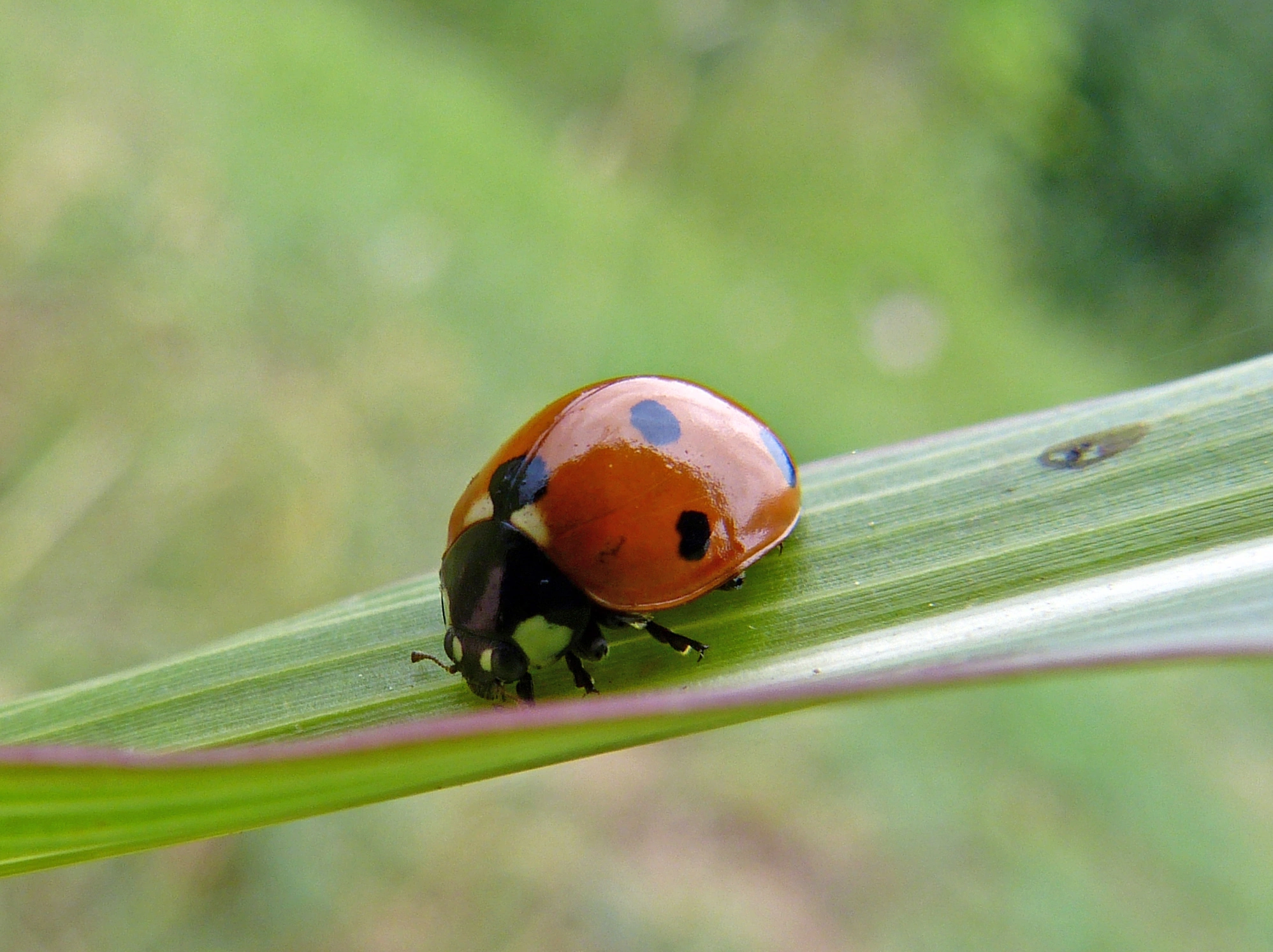

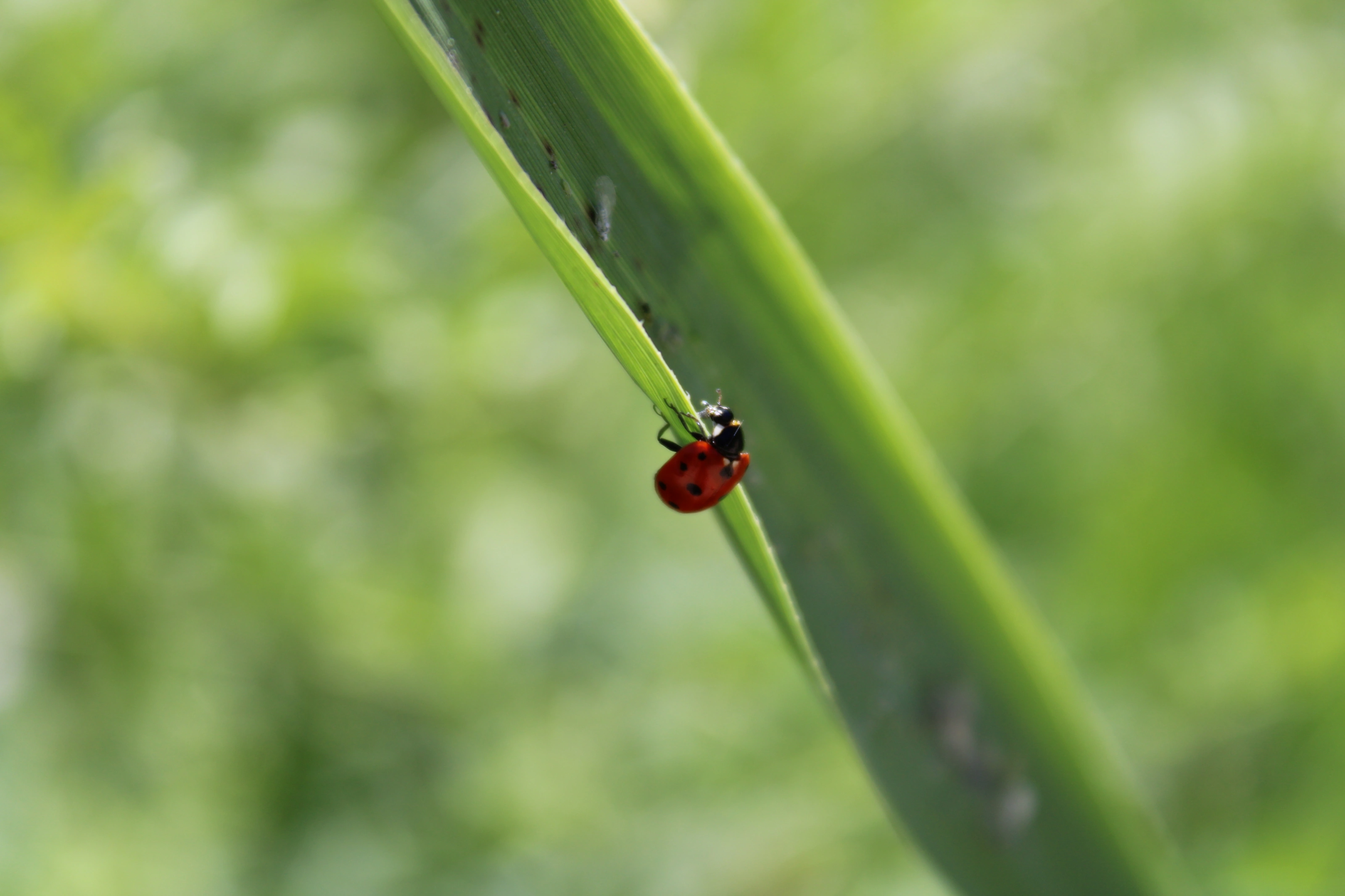
Watch the ladybirds
Observe without moving the insects. Avoid stepping on clusters or lifting stones that shelter them.
 ULUDAZK A H R A M A N M A R A Ş
KAHRAMANMARAŞ • ULUDAZ HILL
Meet the seven-spotted inhabitants of Uludaz. Observe nature up close and help protect this delicate habitat.
 ULUDAZ
A STORY IN SEVEN SPOTS
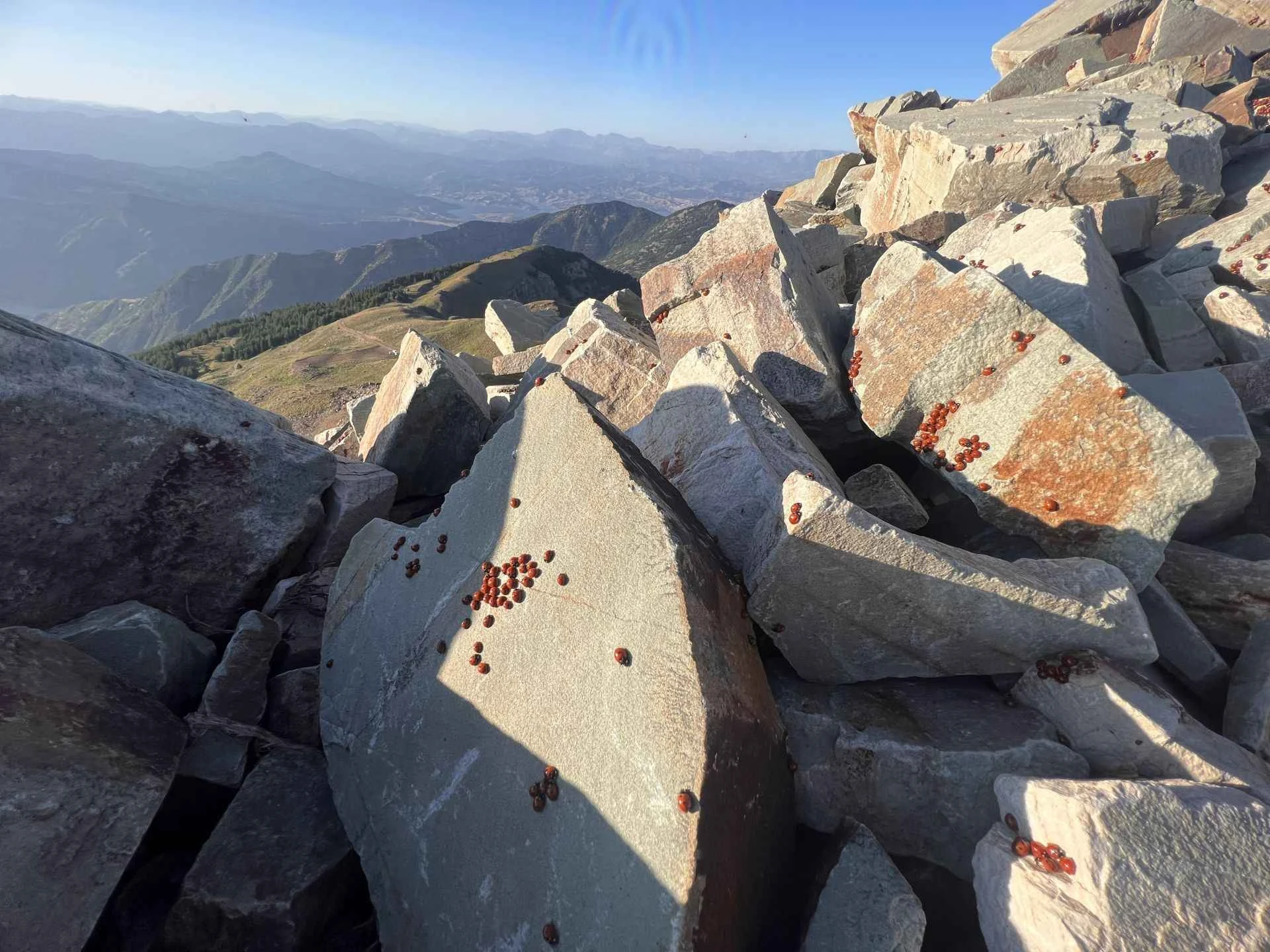
Uludaz Hill in Kahramanmaraş is known for seasonal gatherings of seven-spot ladybirds. This mountain environment around Çimen Mountain offers a chance to discover the lives of small creatures.
Türkiye’s Culture Portal gives an approximate distance of 65 km from the city centre and an elevation of 2,259 m. Elevation figures vary by source. Ladybird numbers depend on the season and weather; sightings are never guaranteed.
Official Uludaz information ↗Things to Do
A rewarding day at Uludaz begins with respect for nature.
Observe without moving the insects. Avoid stepping on clusters or lifting stones that shelter them.
Focus on small details. Do not move wildlife or pick plants to improve a photograph.
Choose open, safe routes suited to your experience. Check current conditions with local sources.
Enjoy the quiet. Do not light fires, take your litter home and leave the habitat undisturbed.
SCENES FROM ULUDAZ
Mountain and summit views of Uludaz alongside ladybird photographs. Species photos taken elsewhere are labelled separately. Tap a photo to enlarge it.
ULUDAZ
Discover Uludaz through videos. The latest additions appear first.
Video previews connect to YouTube or Google when loaded. Videos do not autoplay. The provider may process device and connection information. If playback is restricted, watch at the source.
Getting Here
The Culture Portal places Uludaz Hill approximately 65 km from central Kahramanmaraş. This is not a fixed route or driving time. Search for “Uludaz Tepesi Kahramanmaraş” on the map and check current mountain road conditions with local authorities before setting out.
Get directions ↗Bring water, suitable clothing and a charged phone. Follow forest fire notices. In an emergency call 112.
MEMORIES OF ULUDAZ
Your experience can help the next visitor.
Reviews are shown in their original languages.
Cennetten bir köşe olsa gerek..
Kadriye T..Yok böyle bir manzara...
Mustafa T...Benzersiz doğa manzarası..
Hasan K.ULUDAZ
Uludaz Hill is in Kahramanmaraş, around Çimen Mountain. The Culture Portal gives its distance from the city centre as approximately 65 km.
Official sources describe summer gatherings. Numbers depend on weather and natural cycles, so there is no guaranteed day or sighting. Check recent observations locally.
Official sources identify Coccinella septempunctata, the seven-spot ladybird. Do not collect insects or disturb their habitat.
Confirm current road conditions and vehicle suitability locally. A map link does not guarantee that a route is open.